Foto Report from the Nalychevo trek
Day 1: Pinachevo - Semenovskij (20km) |
The first 20 km are already
a challenging test of our rain gear: About one hour after we started,
it begins to rain and will not stop until we reach Camp Semjonovskij. |
Day 2: Semjenovskij - Nalychevo (25km) |
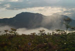
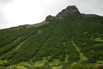
The day starts out with nice weather. However, as we reach the pass Pinachevskij (1160 m), we again are welcomed by rain clouds on the other side. Until we covered the remaining 15 km to Camp Nalychevo, everything is wet again.

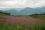
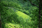
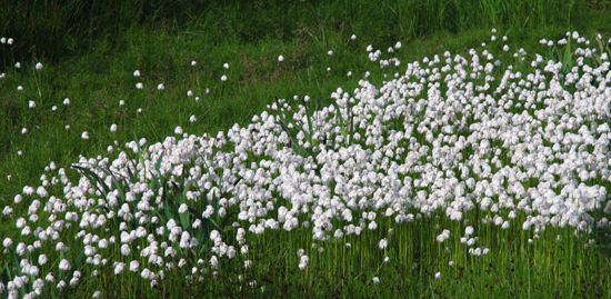
View back from Pinachevskij pass.
Day 3: Resting day in Nalychevo |
We attempt to dry all our stuff while rain still is pouring...
Day 4: Nalychevo - mineral spring Agskie - Nalychevo (25 km) |
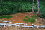
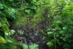
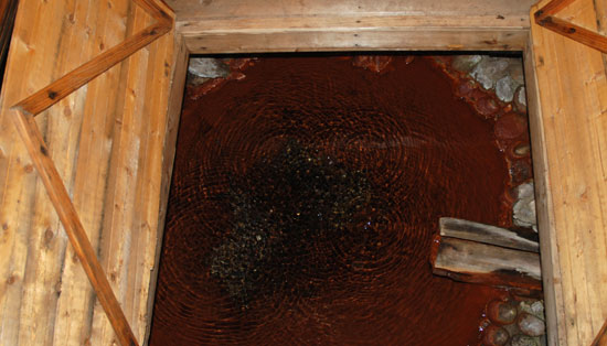 Water of the
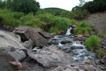
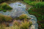
mineral spring is rich in iron.
The hike to mineral spring Agskie
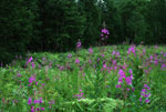
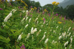
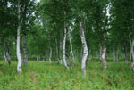
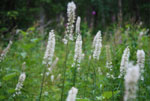
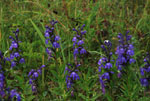
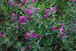
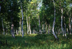
is a rewarding day trip. The path leads through birch forest and extended
meadows of high perennials. Altitude difference of about 700 meters
has to be covered.
A small hut has been built over the Agskie srping, and the spring water can be accessed through a trap door in the hut floor. |
Day 5: Nalychevo - mineral springs Krajevedtscheskie - Nalychevo (16 km) and Nalychevo hot spring (2 km) |
Krajevedtscheskie
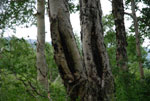
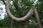
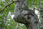
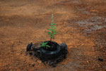
The hike to the mineral springs Krajevedtscheskie leads through stone birch forest. Some of the trees grow in odd figures which were induced by injury by loads of snow in winter when the trees were young.
 |
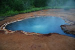
Nalychevo hot spring
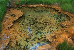
The most impressive hot
spring near Nalychevo Camp. It is a 200 m deep hole filled with 71°C
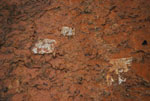
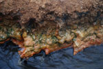
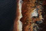
hot water. Minerals precipitate as colorful layers at the cooler edges.
|
Day 6: Climb of Mountain Gauss (1227m) |
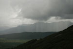
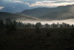
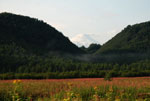
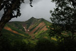
A day of unsettled weather. Sunny moments with great views change
with rain events. Overall it gives the landscape some mystic atmosphere.
|
 |
Day 7: Nalychevo - Semjenovskij (25km) |
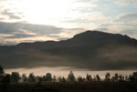
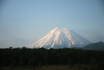
A beautiful morning.
We have a cloudless view of the volcanoes Dzendzur, Shupanova, Koryaksky
and Avachinsky. |
Day 8: Semjenovskij - Pinachevo (20km) |
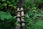
Typical trails in the
Nalychevo Park. Basically they are more or less well used paths with
simple bridges across creeks. |
